
 US Dollar


have questions?
Always the correct part
We know our products
Fast & Reliable


Humminbird ® LakeMaster ® Maps deliver unrivaled detail, accuracy and innovative, one-of-a-kind features you need to eliminate unproductive water and find the best fishing spots faster.
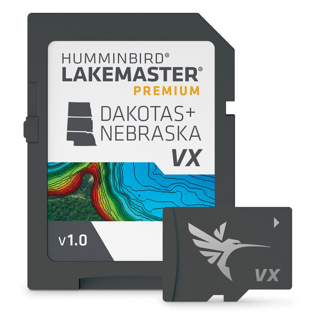
LakeMaster® VX Premium - Dakota/Nebraska
An upgraded premium mapping solution in Humminbird LakeMaster VX to help anglers understand what is under the waters surface better than ever before.
For decades, Humminbird LakeMaster® has led the charge with the most accurate and advanced mapping available for anglers. Now, LakeMaster is taking it to an entirely new level with the introduction of Humminbird LakeMaster maps with VX Technology.
The LakeMaster name has been praised among anglers for having the highest quality mapping for fishing, often collected by a team of GIS analyst cartographers. Now with VX Technology, LakeMaster maps are packed with more information than ever before, including five new customizable color palettes, exceptional map performance, and a powerful combination of features.
The LakeMaster lineup maintains the same regions as the current lineup, but with two options per region: LakeMaster and LakeMaster Premium. Both products now include SmartStrike technology as a feature, allowing anglers to enter search parameters like season, time of day, temperature, and targeted fish species to create a custom chart that highlights areas of the map where fish are most likely to be biting. LakeMaster and LakeMaster Premium also include customizable Chart Presets, Depth Highlight, Shallow Water Highlight, Water Level Offset, and One-Boat Network capability. And for an added advantage, LakeMaster Premium includes two additional features: 2D Shaded Relief and Aerial Imagery.
LakeMaster has been the go-to road map for anglers, and compared to the competition, what you see on the map is actually on the lake bottom. With LakeMaster with VX Technology, Humminbird LakeMaster solidifies its place as the most accurate and detailed fishing map on the market.
Features:
Humminbird Lakemaster VX Premium Dakotas and Nebraska microSD
Model: 6020011| Type: | |
|---|---|
| Vendor: |
Humminbird |
| User Guide: | |
| Product Manual: | |
| Product Brochure: |
All returns must be authorized. Items returned prior to authorization will not be accepted. For international customers where applicable, customers must ship any returns to us freight and duty prepaid. Return freight charges for internationsl shippments will be the responsibility of the customer.
Defective new equipment may be returned for warrantyrepair/exchange to us within (5) days of the shipment receipt date. After five (5) days, returns will be handled by direct contact and in accordance with the warranty terms of the item's manufacturer. Items that have malfunctioned due to mishandling, electrical overload, etc., will be subject to repair charge.
Non defective new equipment will be authorized for return within five (5) days of the shipment receipt date if the equipment is still in new, re-sellable condition with the original manual(s), accessories, packing material and carton. We reserve the right to reject returnsin which there is no original packaging, missing accessories, damage or visible signs of usage of the item. A restocking fee of up to 25% of purchase price may apply. Special orders and dangerous goods are non-returnable.
(Do not write anytingon the manufacturer's original package or use as a shipping carton. Include all accessories, manuals and warranties.)
Please, include a copy of the packing list or invoice with a reason for the return. Your return authorization number is valid for thirty (30) days.
We can ship to both US and Canada. Note that there are restrictions on some products, and some products cannot be shipped to international destinations.
When you place an order, we will charge a flat rate shipping for your items.
Please also note that the shipping rates for many items we sell are weight-based. The weight of any such item can be found on its detail page. To reflect the policies of the shipping companies we use, all weights will be rounded up to the next full pound.
Not Applicable
| Condition: | NA |
Defective new equipment may be returned for warrantyrepair/exchange to us within (5) days of the shipment receipt date. After five (5) days, returns will be handled by direct contact and in accordance with the warranty terms of the item's manufacturer. Items that have malfunctioned due to mishandling, electrical overload, etc., will be subject to repair charge.
Non defective new equipment will be authorized for return within five (5) days of the shipment receipt date if the equipment is still in new, re-sellable condition with the original manual(s), accessories, packing material and carton. We reserve the right to reject returnsin which there is no original packaging, missing accessories, damage or visible signs of usage of the item. A restocking fee of up to 25% of purchase price may apply. Special orders and dangerous goods are non-returnable.
(Do not write anytingon the manufacturer's original package or use as a shipping carton. Include all accessories, manuals and warranties.)
Please, include a copy of the packing list or invoice with a reason for the return. Your return authorization number is valid for thirty (30) days.


